


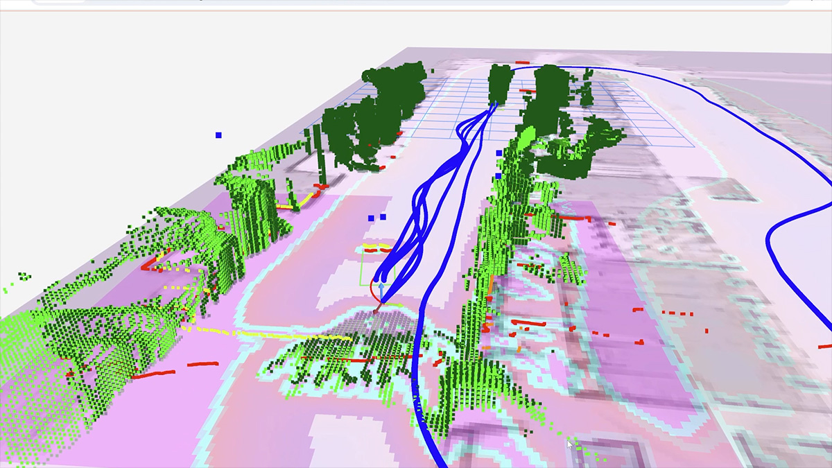

LiDAR stands for Light Detection and Ranging. LiDAR sensors use pulses of laser light to measure distances within environments and from objects within the environment, using the data to render 3D maps. Within a warehouse, LiDAR sensors serve as a great tool for creating accurate three-dimensional mapping.
MūL Technologies uses LiDAR mapping in its MARC® 5 Series robotic carts, giving them a mapping system that’s far more flexible than following a standard fixed path.
LiDAR mapping works by using pulse laser light. The sensor fires rapid laser light onto a target surface and measures how long it takes the light to bounce back. This travel time is then converted into an accurate measurement of distance between the sensor and an object.
In the general sense, LiDAR sensor parameters are determined by the detection range, laser wavelength, field of view, and the rate at which pulses of light are emitted.
Take our autonomous mobile robot (AMR) for example. The sensor parameters for our robotic carts are defined as follows:
The parameters for LiDAR sensors change based on the product that uses the sensor. Not all sensors are created equal, but LiDAR remains more advanced for AMRs than using fixed programming mapping.
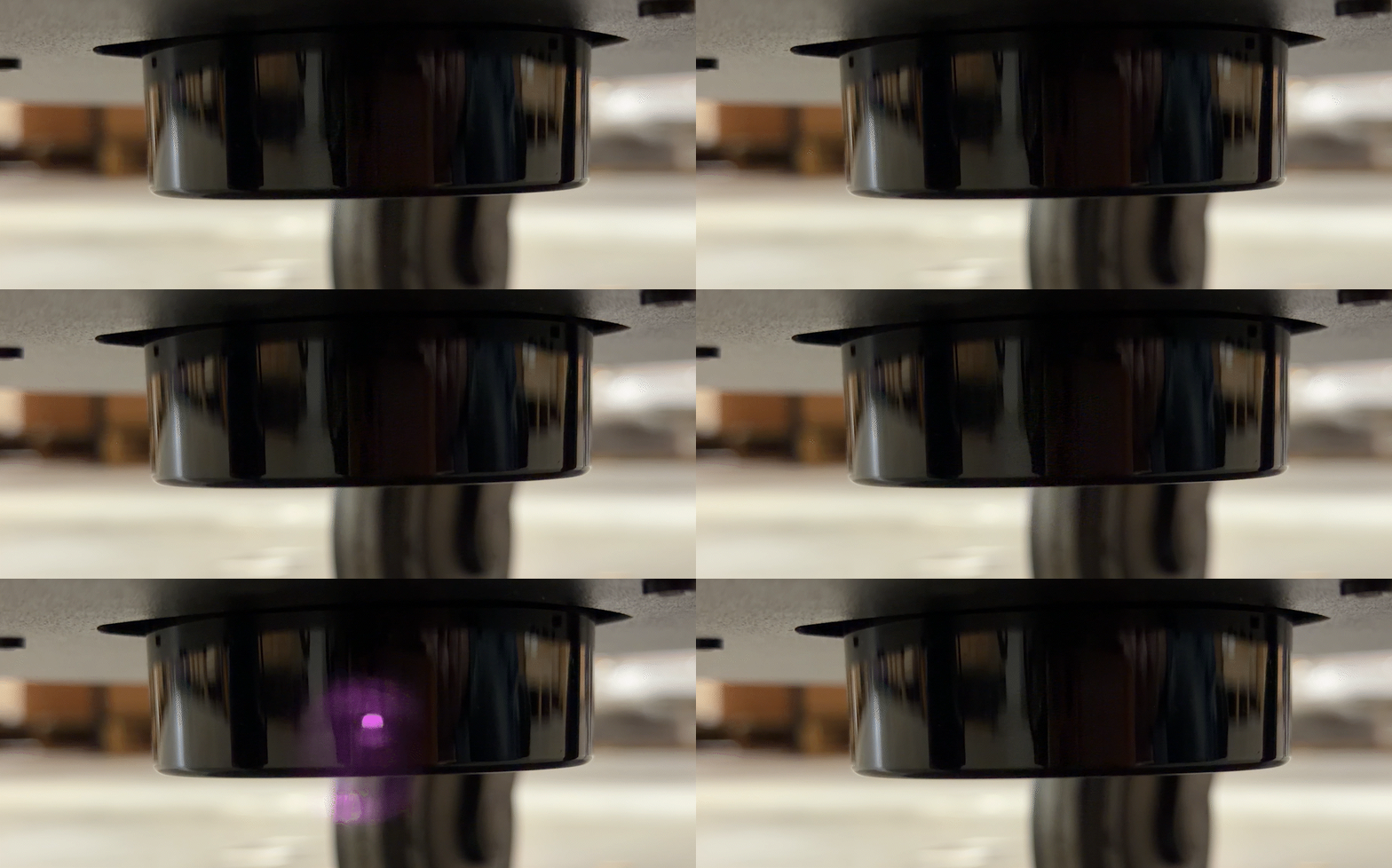
There are several benefits to using LiDAR within autonomous mobile robots including:
The mapping is more dynamic. Autonomous guided vehicles (AGVs) with fixed mapping require an updated route each time something in the warehouse changes. With a LiDAR, an autonomous mobile robot (AMR) can navigate a warehouse even when there are objects in the way of its standard path.
Say there are boxes on the floor in the direct path that the AGV takes. Through fixed mapping, the AGV has to take that path. If something is in the way, the AGV is stuck. If something is in the direct path of an AMR, it can use the LiDAR sensor to adjust the mapping to move around objects as they shift places within the warehouse.
Through dynamic mapping, warehouse workers do not have to manage the path of the AMRs, freeing up their time that could be spent on higher-value tasks.
Because LiDAR allows AMRs to detect incoming obstacles, it helps avoid collisions. This protects from any incidents that would require human intervention. Through fixed mapping or a set path, a worker would have to come over and correct their robotic cart if it ends up in a collision. This could either take them away from an important task or cause a delay in the robotic cart's actions as it waits for help. AMRs will detect incoming collisions to avoid them altogether, preventing delays in work due to unexpected impacts.
LiDAR creates accurate 2D or 3D maps that help AMRs detect objects and understand their surroundings. Combined with additional sensors and software, this information can support more advanced object detection and classification. Advanced object classification could help AMRs distinguish between moving objects, such as workers or other autonomous vehicles, and static objects, like pallets or stationary equipment. This advanced detection and predictive collision avoidance capability is essential within a busy manufacturing environment.
There are a few different types of LiDAR that go beyond material equipment handling and autonomous robotic carts. In warehouses, the most common types of LiDAR used in autonomous equipment include 2D LiDAR for navigation and obstacle detection and 3D LiDAR for mapping the environment and detecting objects at different heights.
LiDAR uses laser light waves to create 3D or 2D maps, while radar uses radio waves to measure speed over long distances. The limitation to radar comes from less detailed context as to what shapes are detected within its mapping.
MūL Technologies’ autonomous carts use multiple LiDAR sensors to map their surroundings, detect obstacles, and navigate through changing warehouse environments.
Not sure whether an AMR makes sense for your warehouse? Our team can walk you through how LiDAR mapping works in real facilities and what it could do for yours. Reach out to MūL Technologies to book a virtual demo today.



